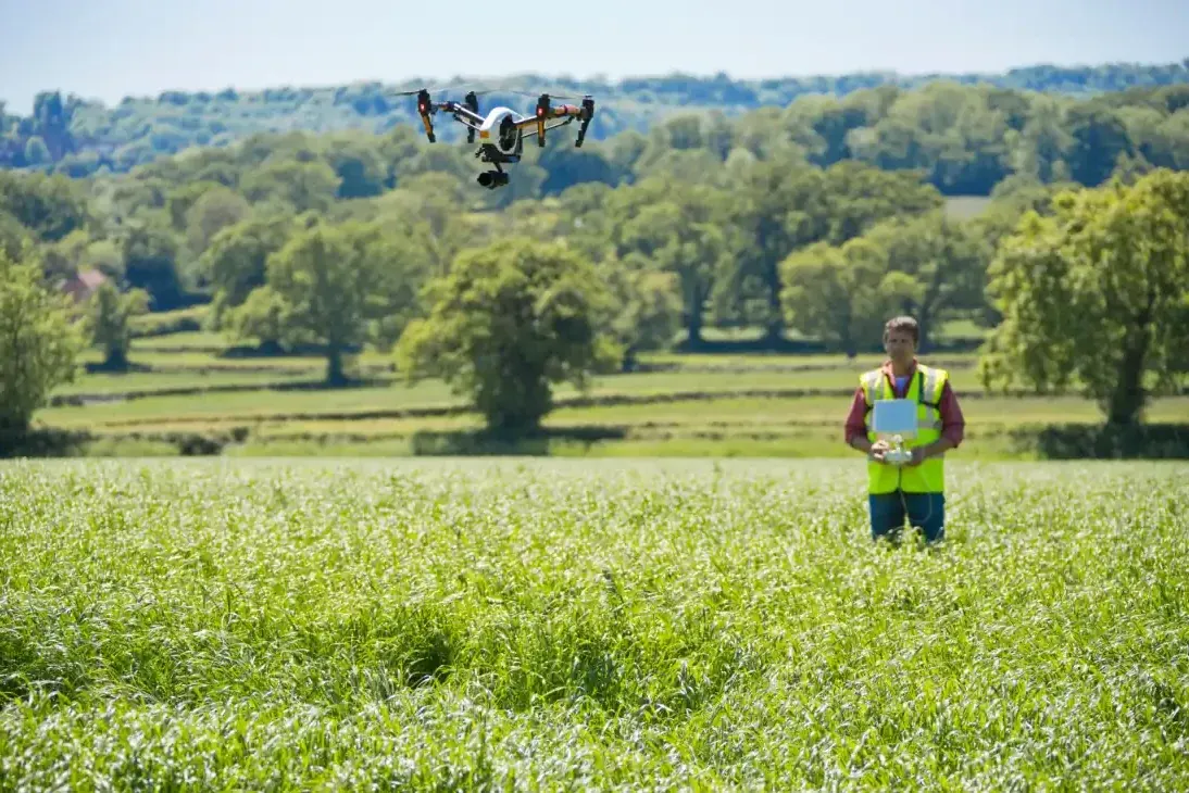
Farmer flying a drone to survey a crop field

Agriculture & Environmental

VROX.ai provides advanced drone solutions to support farmers, landowners, and environmental organisations

A complete picture

With its precise, real-time aerial data, our technology helps you make smarter decisions, improve efficiency, and protect the land while reducing time, cost, and manual surveying.

From crop health monitoring to land management and conservation, our drones give you a complete picture from above.

  • Crop health and growth monitoring
  • Irrigation and drainage assessment
  • Field mapping and boundary surveys
  • Livestock location and monitoring
  • Soil and vegetation analysis
  • Flood risk and watercourse inspections
  • Environmental and habitat monitoring

Why use drones for Agriculture & Environmental?

Fast coverage of large land areas ensures early detection of crop stress or disease, as well as improving water and resource management.

Reduced need for manual inspections makes land surveying more cost-effective. Supports sustainable farming practices.

Ideal for

  • Farmers and agricultural businesses
  • Landowners and estate managers
  • Environmental agencies
  • Conservation projects
  • Local authorities
  • Rural development organisations

What you receive

High-resolution aerial images and video provide detailed land and crop condition reports. Optional annotated maps and surveys. Data ready for planning, compliance, and grants, along with providing evidence for insurance and environmental assessments.

Smarter farming, stronger environment

With VROX.ai, you gain powerful insight into your land and environment. Our drone services help you increase productivity, protect natural resources, and manage your land with confidence and precision.

From security to rescue, VROX.ai delivers AI-powered aerial solutions for every industry.

Book a Demo